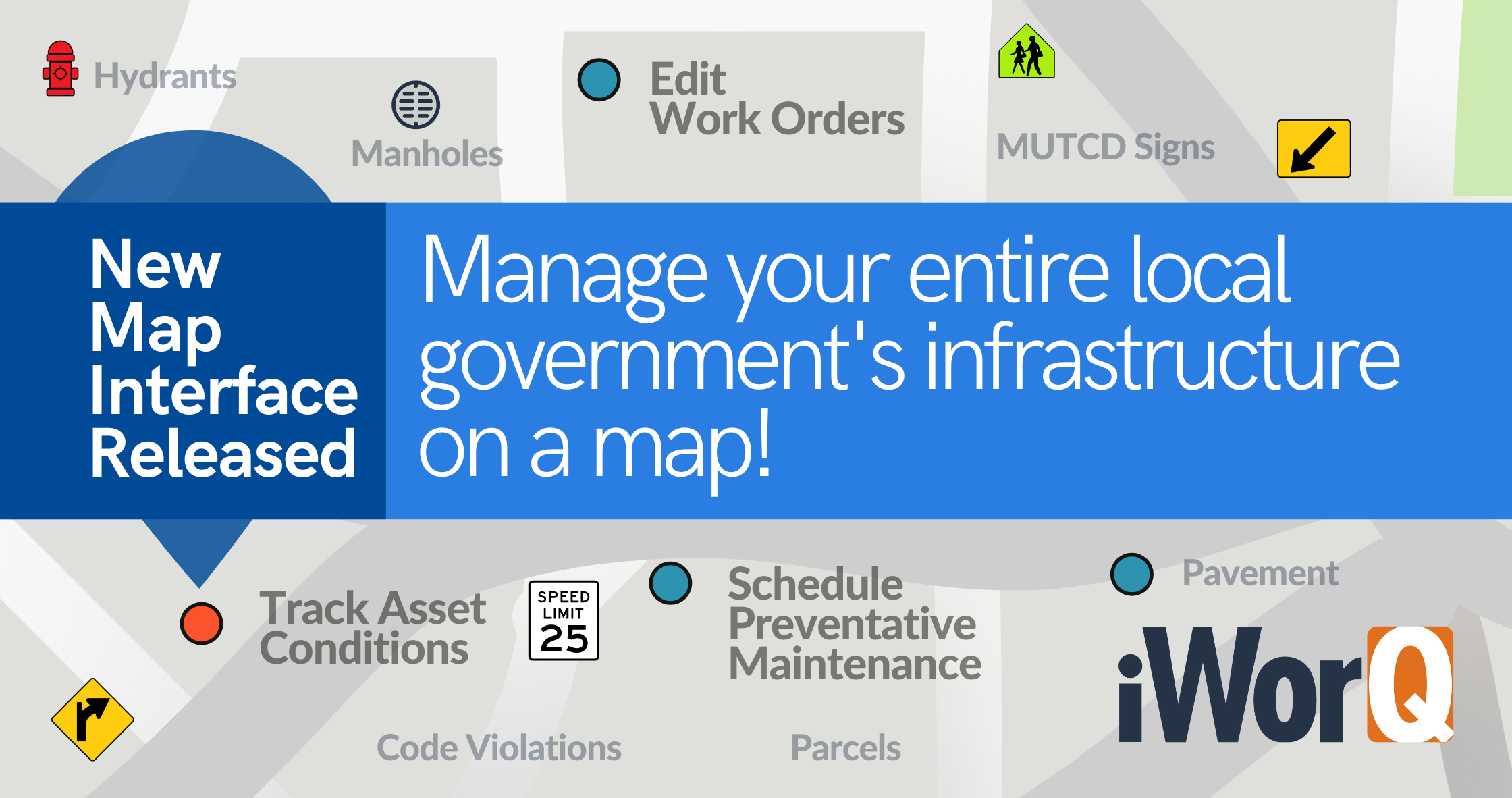
iWorQ's new mapping interface was just released. The new interface enables Public Works and Community Development Departments to save time, money, and resources by viewing and managing their local government agency's entire infrastructure on the map.
Efficient Visualization
Generate Custom Searches on The Fly
Make Your Map Colorful.
Track asset conditions and view them on a map with the new color-coded feature. This feature simplifies maintenance tracking and can help you prioritize jobs. For Pavement Management, select Remaining Service Life (RSL), and it highlights varying colors from green (20 RSL) to red (0 RSL). It will also tell you the recommended pavement treatment or past treatments done on that segment of the road. Another great way to use this feature is for Sidewalk Management. It allows you to identify the sidewalk segments that have faulting, high severity cracking, or spalling. So, if your crew is about to go out to replace a sidewalk after a long winter, they can use the map to go directly to those areas.
Upload/Download:
Admin Controls:
For an additional cost, gain access to the map admin controls. With access to admin controls, you can make changes to GIS ESRI data and add layers to the map. Users that opt-in for this feature will receive one on one training to ensure they are equipped with the knowledge needed to run the feature.
Don't want to worry about admin controls? We got your back. iWorQ offers unlimited tech support to assist you.
Learn More
Existing iWorQ customers can request access to the new interface. We can get you up and running with the new map feature in as little as 15 minutes.
Existing iWorQ customer
Schedule a meeting a GIS Specialist to get started.
Update my iWorQ with the new map interface.
Note: this scheduler is intended only for existing customers interested in the new map. For all other inquiries please contact tech support or request a demo.
Not an Existing iWorQ customer?
Learn how you can streamline your municipality with iWorQ, whether you are looking for software asset management (SAM), backflow prevention, pavement management, or work management. iWorQ offers a wide variety of computerized maintenance management systems to make your day-to-day processes easy.