GIS Asset Management for Public Works
No GIS specialists required. Just practical GIS that works for small to mid-sized municipalities every day.
GIS Without the Complexity
Geographic Information Systems (GIS) help public works teams locate assets, plan smarter, and respond faster. But many municipalities don't have the resources for dedicated GIS staff or complex mapping software.
iWorQ delivers the benefits of GIS in a system that's practical for local government. It makes it easy for any team member to map, manage, and maintain infrastructure without advanced GIS training.
GIS Mapping for Daily Work
Your map should do more than display assets; it should help you manage them.
With iWorQ, GIS is directly integrated into your daily operations. Assets on the map link to inspections, work orders, maintenance records, and service requests, giving your team the information they need to take action.
Locate and manage assets across your infrastructure
View asset details, inspections, and maintenance history
Create and track work orders directly from mapped assets
Monitor service requests and infrastructure issues
Support planning and maintenance decisions with real-time data
Instead of maintaining separate mapping and maintenance systems, your team gets one connected view of your infrastructure and the work that keeps it running.
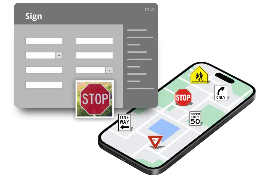

GIS in the Field, Where Work Happens
Access maps from any device
Locate assets instantly
Complete inspections and work orders on-site
Capture photos, notes, and updates in real time
Getting Started is Simple
Already using ArcGIS? iWorQ connects to your existing GIS data, so you can start managing assets, inspections, and work orders without rebuilding your maps.
One-Time Setup. Free, Unlimited Support.
What Our Clients Are Saying
Discover how iWorQ can streamline your agency
Request a demo today!We want to hear about your challenges. We have solutions.
Our team can show you the ins and outs of each application during an online, live webinar!
Fill out the contact form and we’ll be in touch soon!
Contact us directly:

Request a demo
Our knowledgeable staff typically responds to requests on the same business day.