Monte Vista Upgrades Public Works & Grant Reporting with iWorQ
Learn how The City of Monte Vista cut reporting time and improved grant documentation accuracy with iWorQ’s centralized public works management tools.
Learn how The City of Monte Vista cut reporting time and improved grant documentation accuracy with iWorQ’s centralized public works management tools.

iWorQ News / BLOG POSTED: July 26, 2024IRF Conference in San Juan, Puerto Rico Exclusive Event: July 30, 2024 | 11:15 am. EDT”Optimizing Pavement Life Cycle Costs: Strategies for Efficiency and Sustainability” Featuring: U.S. Virgin Islands Department of Public Works | iWorQ | PublicWorks1. 2024 International Road Federation ConferenceiWorQ Systems is headed to San Juan, Puerto Rico to present at the 12th International …

Are you looking to preserve the quality and extend the lifespan of your city streets? Do your roads and sidewalks crave refurbishment? Boost the longevity of your infrastructure assets with street-level imagery from PublicWorks1, a subsidiary of iWorQ Systems. We’ll walk you through how this unique innovation can simplify your public works processes and improve efficiency. What is street-level imagery? Street-level imagery …

Audio recorded interview shows how the City of Hitchcock developed a street rehabilitation plan with a PublicWorks1 Road Assessment and Street Level imagery combined with iWorQ Systems Management Software. Featuring: Leroy Thomas, Public Works Operations Manager at City of Hitchcock, Texas. Being able to present the road conditions and costs associated with your city network is a huge value to get approve funding from any city council.
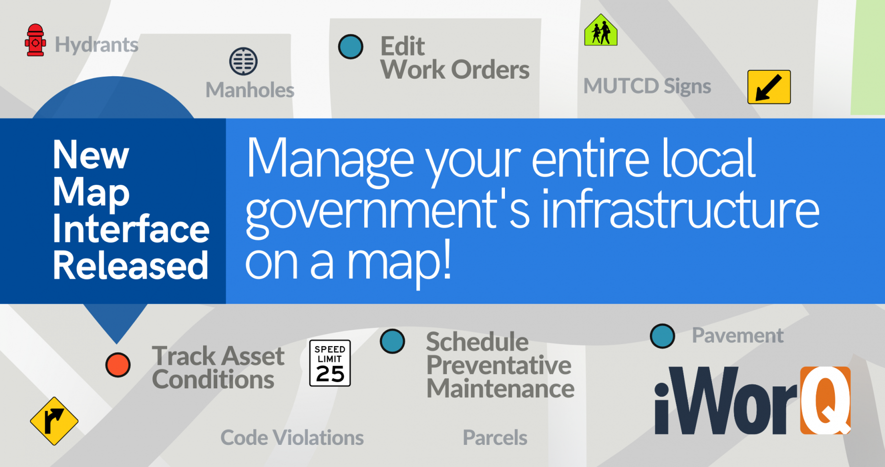
iWorQ’s new mapping interface was just released. The new interface enables Public Works and Community Development Departments to save time, money, and resources by viewing and managing their local government agency’s entire infrastructure on the map.Efficient Visualization The new map brings all your iWorQ software applications together, allowing you to access any information stored in iWorQ at your fingertips while …
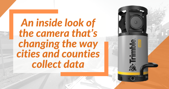
the camera that’s changing the way cities and counties collect data. Blog Post Since iWorQ’s partnership with PublicWorks1 back in 2015, cities and counties have been able to take advantage of pavement assessments and asset management services with iWorQ software. A part of these services includes street imagery, Where PublicWorks1 drives the streets of cities and counties, capturing 360 panoramic …