Are you looking to preserve the quality and extend the lifespan of your city streets? Do your roads and sidewalks crave refurbishment?
Boost the longevity of your infrastructure assets with street-level imagery from PublicWorks1, a subsidiary of iWorQ Systems. We’ll walk you through how this unique innovation can simplify your public works processes and improve efficiency.
What is street-level imagery?
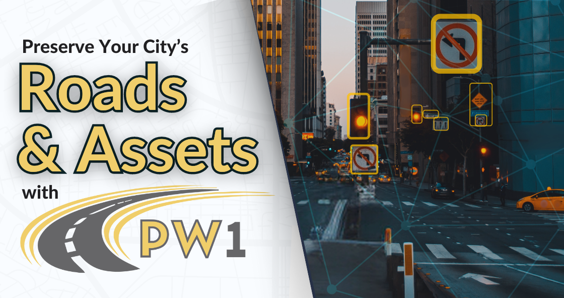
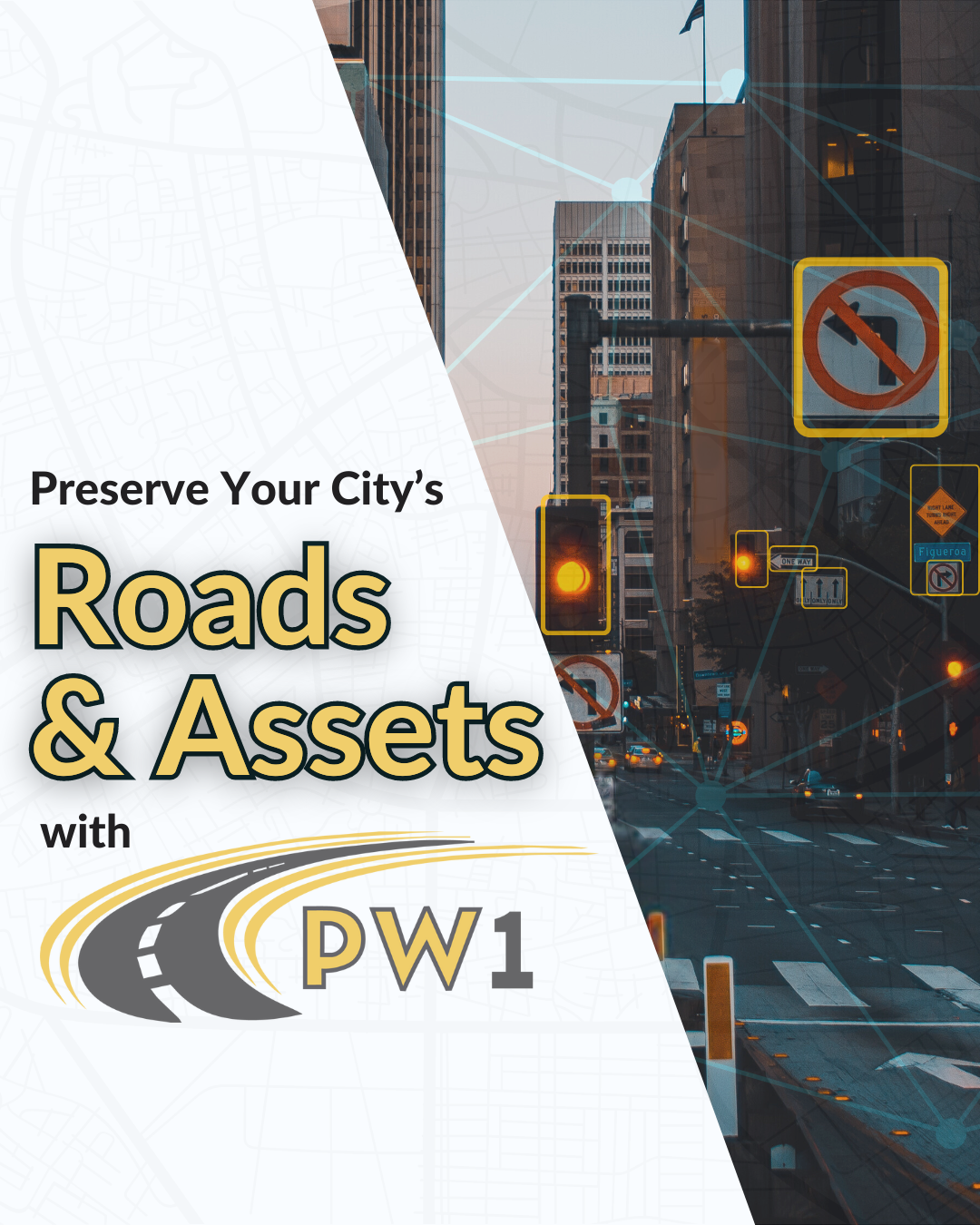
Street-level imagery is a type of visual data that captures panoramic 360-degree views from an eye-level or street-level perspective. This imagery is typically collected using a special high-resolution camera mounted on a vehicle while driving down streets. Our PublicWorks1 team utilizes the Trimble MX7 camera. Through computer vision technology, we identify geo-referenced asset data and seamlessly integrate the captured data directly into iWorQ for streamlined management.
This technology is commonly used for mapping, navigation, urban planning, and infrastructure management. Street-level imagery provides detailed views of roads, buildings, and assets, along with surrounding areas.
How does street-level imagery elevate public works management?
Public works departments can use street-level imagery to visualize the conditions of local streets and freeways, as well as roadside assets like street signs, traffic lights, fire hydrants, and more. It is an excellent solution for gathering data from hard-to-access locations, such as bridges, busy streets, and highways. It can help you make informed decisions regarding maintenance, safety, inventory, and budgeting. Additionally, having an up to date, 360-degree snapshot of your streets and assets simplifies the process of acquiring FEMA funding to restore your city following a natural disaster in your community.
Where is street-level imagery data stored?
Street-level imagery data is often stored in databases managed by the organizations who collect the images. PublicWorks1’s team of qualified engineers will conduct on-site evaluations to assess the status of your roads and assets and compile the data into iWorQ’s cloud-based public works management software. That’s right – PW1 will make the trip to your municipality to provide the best service possible. The data and visuals from both the street-level imagery and in-person pavement assessments can be accessed from any web-based device.
iWorQ’s catalog of public works software is extensive and can be tailored to address your agency’s specific needs. Schedule routine and preventative maintenance, manage inventory, and generate reports to streamline your operations. It even includes an interactive map that lets you analyze streets and assets. These essential GIS functions can be leveraged by anyone in your agency; the accessibility parameters are completely customizable.
PublicWorks1’s services, combined with iWorQ’s cloud-based management software, benefit not only public works and utility departments, but first responders and emergency personnel, code enforcement offices, and community development projects, too. You can’t go wrong!
Interested in learning more about what PublicWorks1 can do for you? Contact us here.


