

PublicWorks1
Make Smarter Infrastructure Decisions
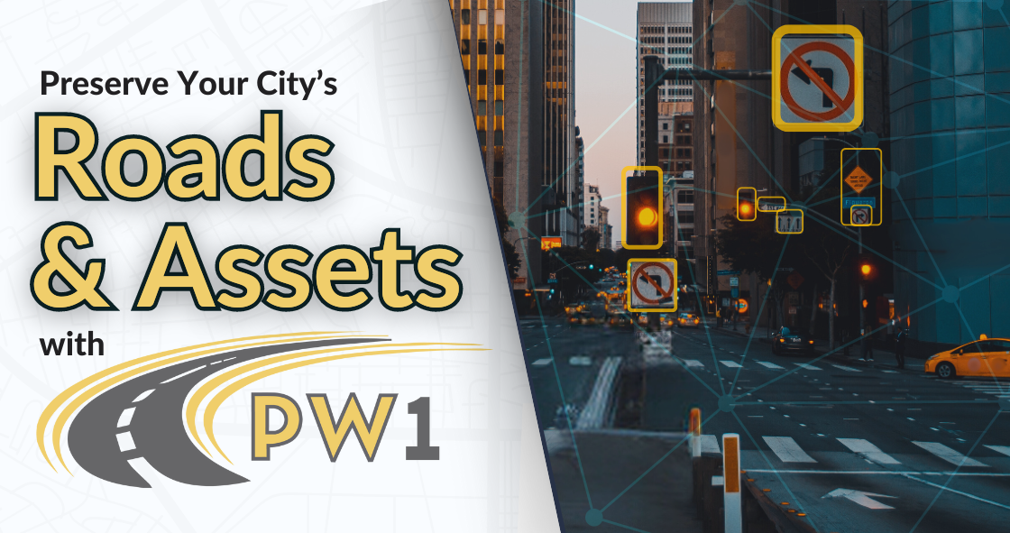
PublicWorks1 helps cities and counties assess pavement conditions, collect asset data, capture street-level imagery, and develop long-term maintenance and budget plans.
Street-Level Imagery
See Your Infrastructure Like Never Before
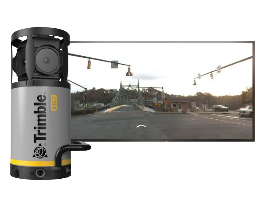
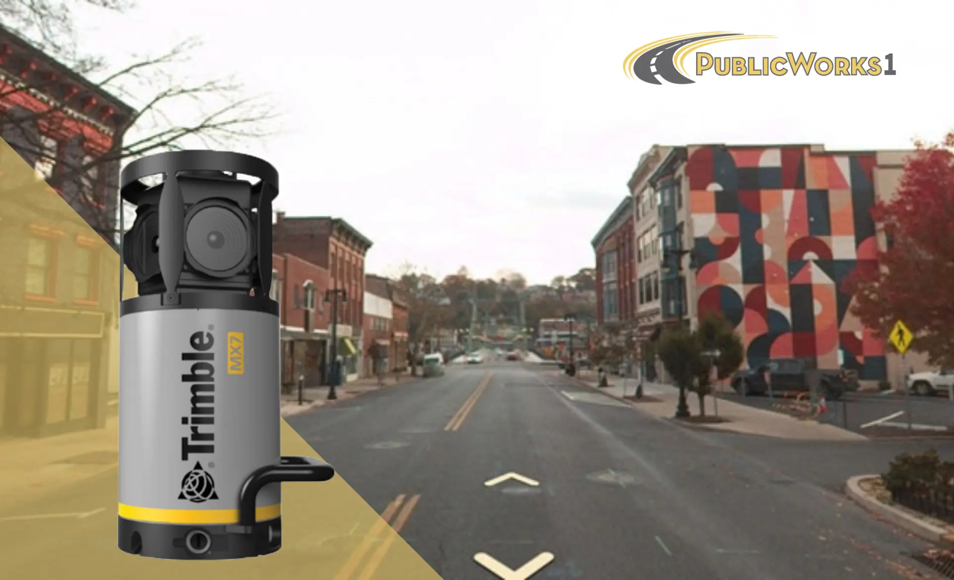
High-resolution 360° imagery and GPS data provide your team with a detailed view of all road assets without the need for repeated field visits.
View roads and infrastructure from street level
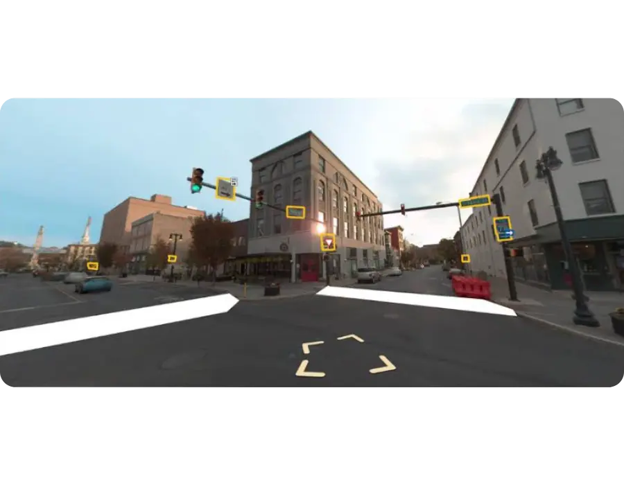
Map all your assets in iWorQ directly from imagery
Access imagery and asset data from any web-based device
Get a Free Quote
Pavement Assessments
Extend the Life of Your Roads
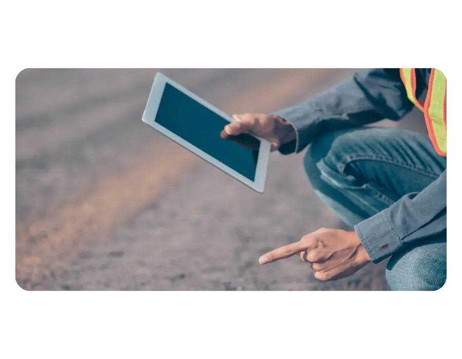
Get pavement assessments and treatment recommendations to help you prioritize maintenance and maximize infrastructure investments.
Professional pavement condition assessments
Actionable treatment recommendations based on roadway conditions
Data-driven guidance for maintenance planning and budgeting decisions
Get a Free Quote
Disaster Recovery
Be Ready Before Disaster Strikes
Maintain a visual record of your roads and assets to simplify damage documentation, recovery planning, and funding requests after major events.
Capture current infrastructure conditions before disasters occur
Support damage assessments with documented imagery
Streamline FEMA recovery and reimbursement processes
Get a Free Quote