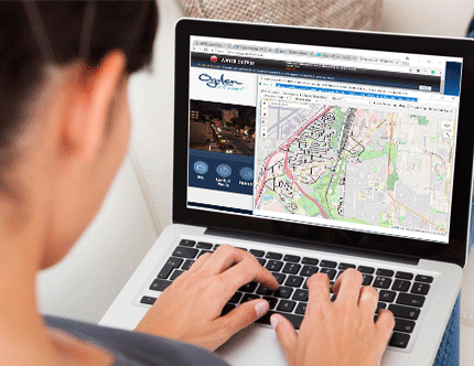
iWorQ’s GIS Portal Map makes sharing GIS data with citizens easy. Agencies can display property, permit, entity, or case data from iWorQ applications. Citizens can search properties to verify case or permit information, which results in less stress for you and more information provided to your citizens.
Share and Simplify
The biggest benefit to the external map application is to provide citizens with detailed, accurate information so that they can find answers to their questions using the map instead of calling an agency. Here are a few examples of how other agencies plan to use the map to communicate with citizens:
- Easy to view parcel information. Save employees and citizens time and calls into the agency by putting parcel information; owner, address, parcel number, zoning information can be available with only a few clicks.
- Flood zone layers for contractors. Simplify the process for contractors by allowing them to look at the map and know if they will need to change building plans for the area.
- Display additional layers along side your parcel information for a more complete look at your agency's GIS data.

We want to hear about your challenges. We have solutions.
Our team can show you the ins and outs of each application during an online, live webinar!
Fill out the contact form and we’ll be in touch soon!
Contact us directly:


